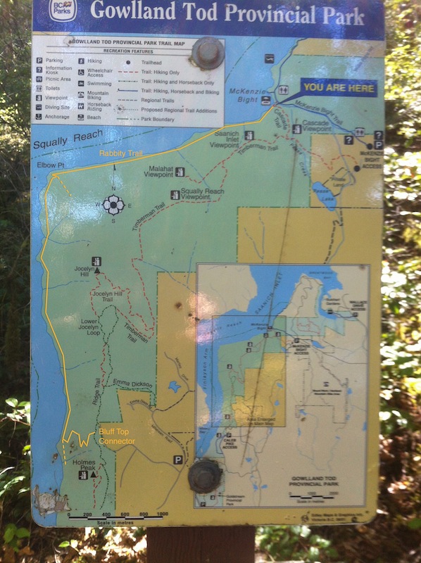
00. Cheesy markup of the park trail sign with Rabbity added.
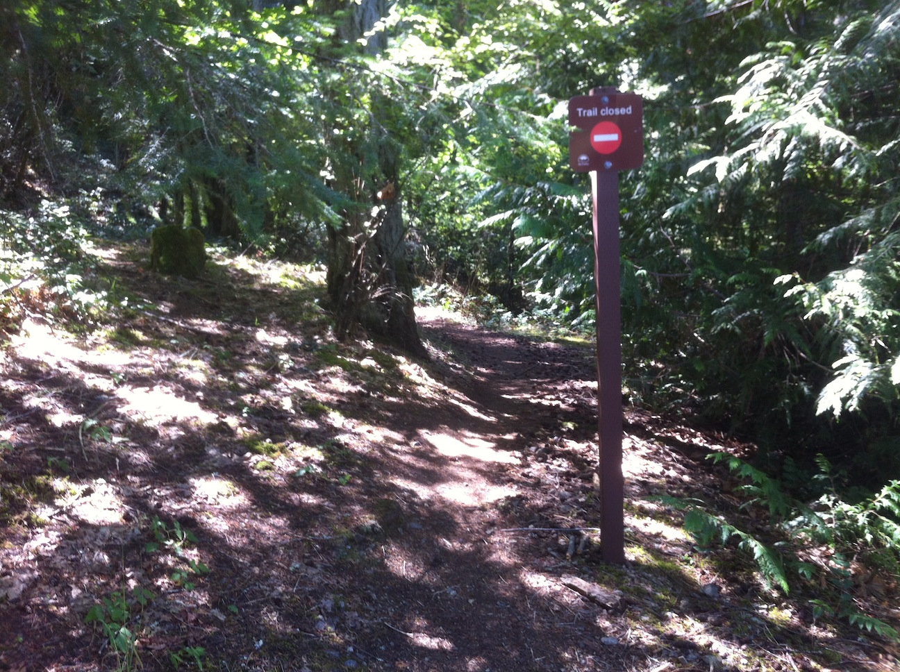
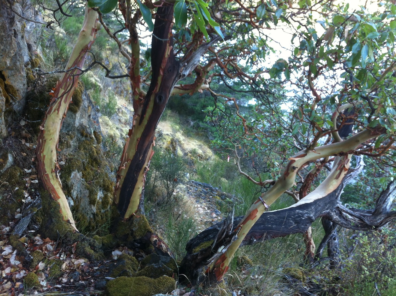
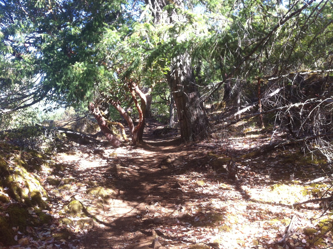
Rabbity Trail in Gowlland Todd Park on the Saanich Peninsula is an old route along the east side of Finlayson Arm, the body of water separating the Malahat and the Saanich Peninsula. The trail travels north-south near the water's edge, at the bottom of the steep slopes of the Jocelyn Hill ridge. 'Officially' the trail is closed. It sees little use, and even less so maintenance. Being at the bottom of steep slopes it's a rough route with lots of interim ups-and-downs. The route is sketchy in places and can be overgrown and difficult to follow, especially south of Elbow Point. It is probably somewhat treacherous when wet, but even in summer the thick fall of Arbutus leaves in a couple of sections can leave one with about as much traction as walking on ice.
A nice loop is possible in conjunction with the well-known park trails to Jocelyn Hill that run north-south on the top of the ridge.
Route taken on this occasion:
From McKenzie Bight, SW on Rabbity Trail, past Elbow Point, S on Rabbity, up Bluff Top Connector, N on Ridge Trail, Jocelyn Hill Trail, N & E on Timberman Trail, down Cascade Trail to return to McKenzie Bight.
Approx. 18km/11mi if starting at Mt. Work/McKenzie Bight parking lot.
00. Cheesy markup of the park trail sign with Rabbity added.
01. The north end of Rabbity at McKenzie Bight. Oops.
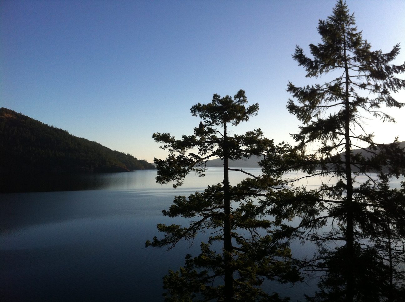
02. Looking back north, from a point between McKenzie Bight and Elbow Point.
This is early morning. Note the eagle in the tree.
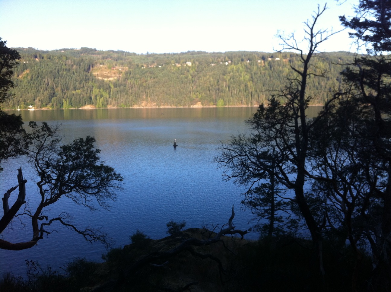
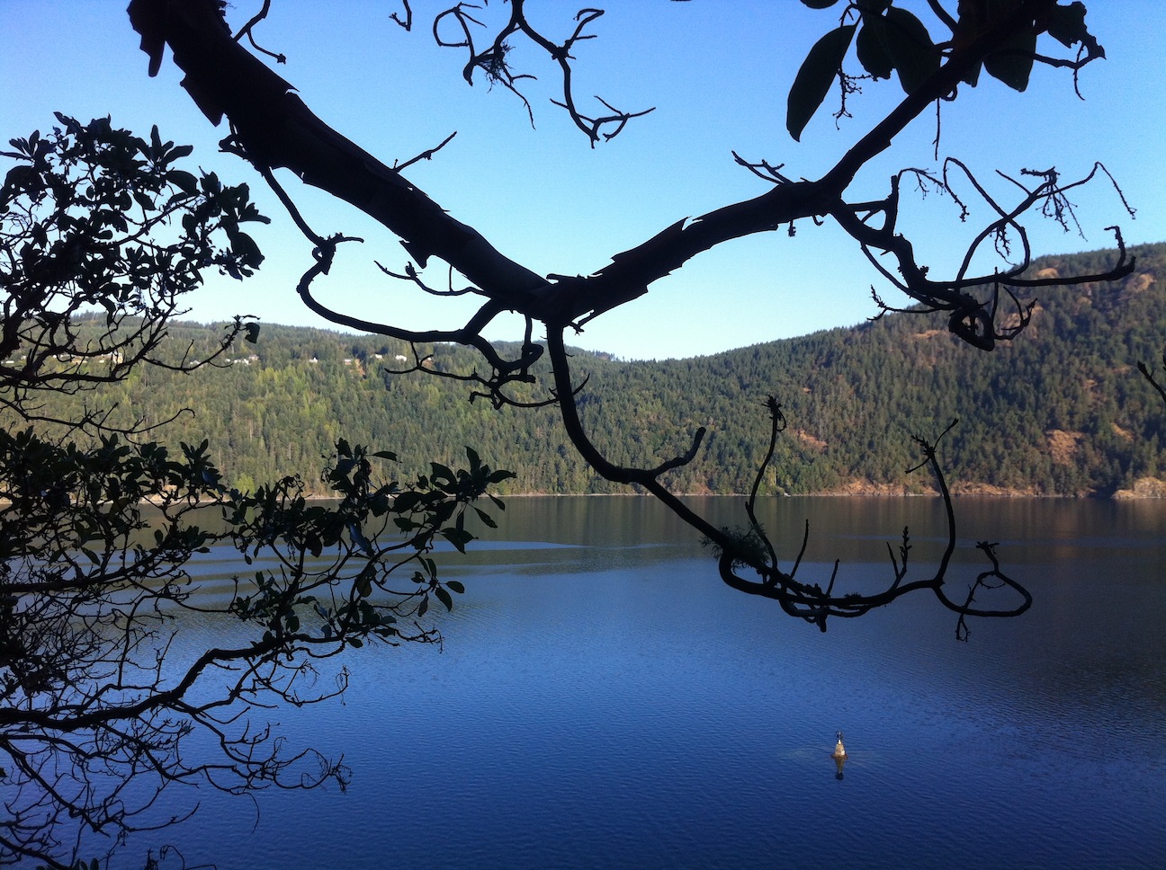
03. Elbow Point, with a marine marker just offshore.
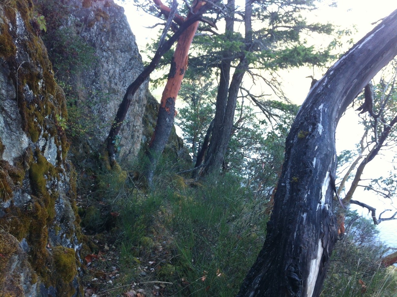
04. The trail, a little south of Elbow Point.
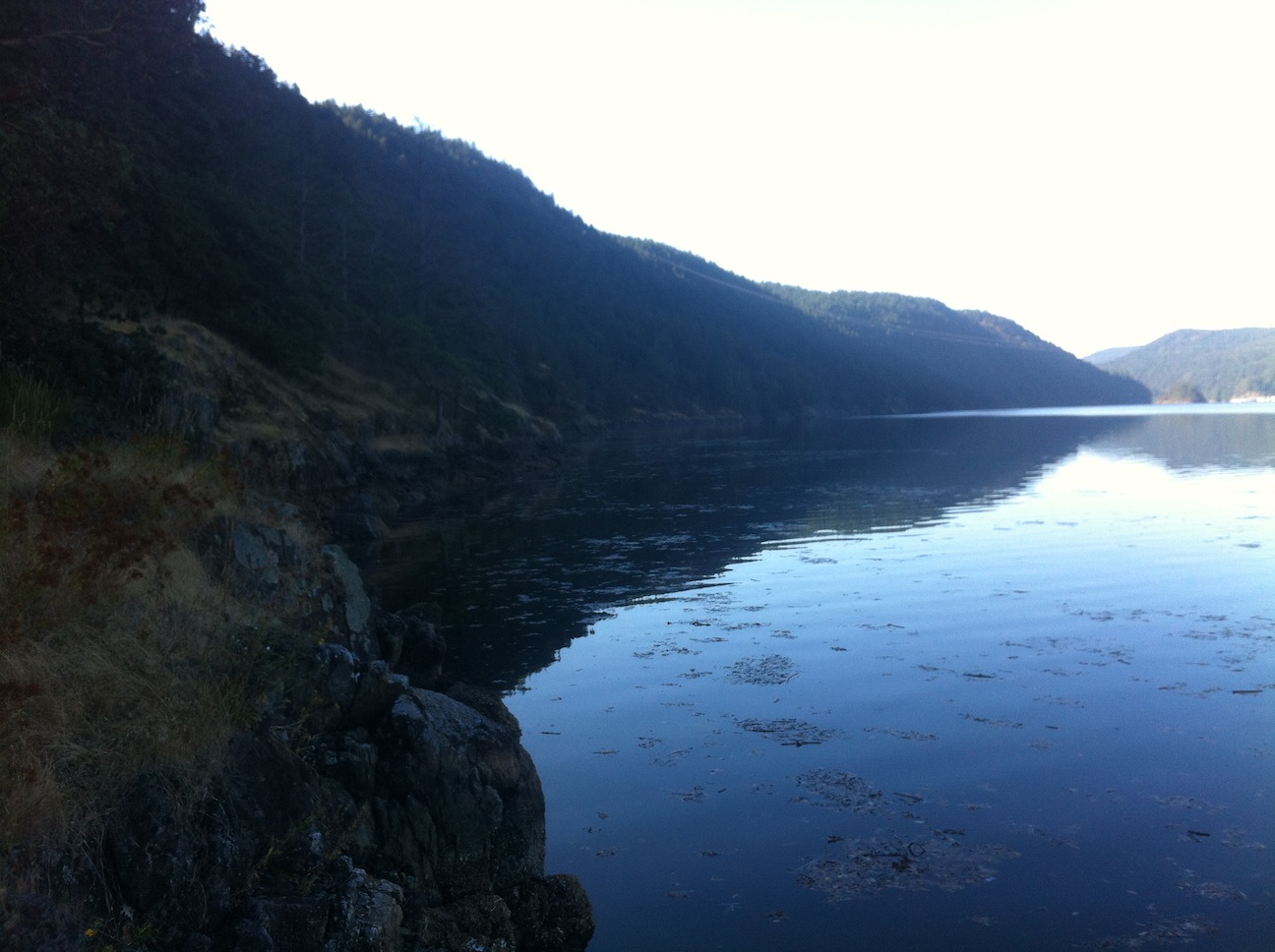
05. Calm morning waters.
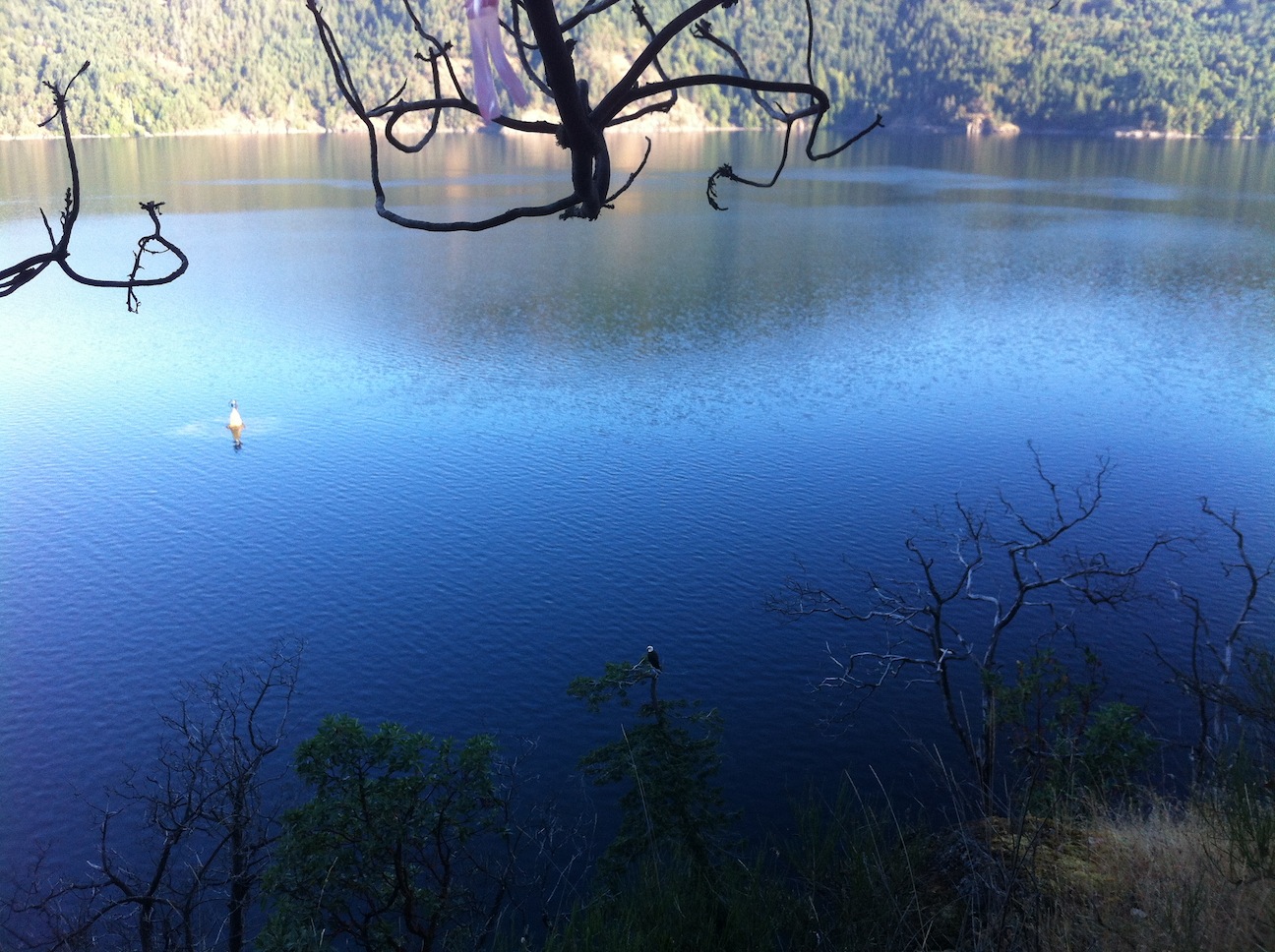
06. Look who beat me here.
07.
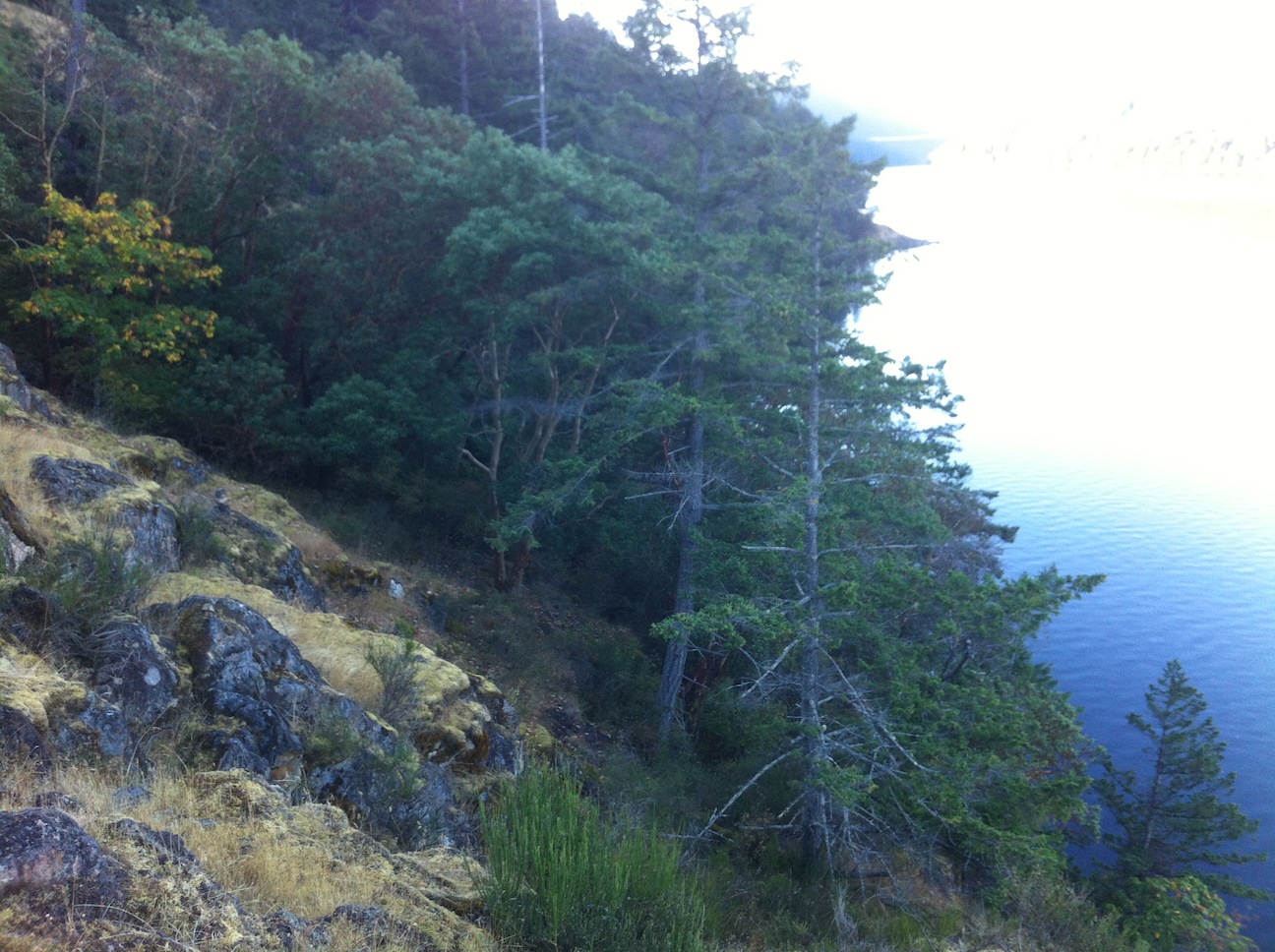
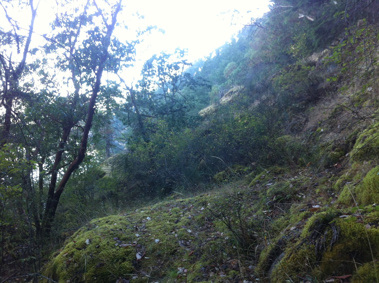
08. The trail is down there, somewhere.
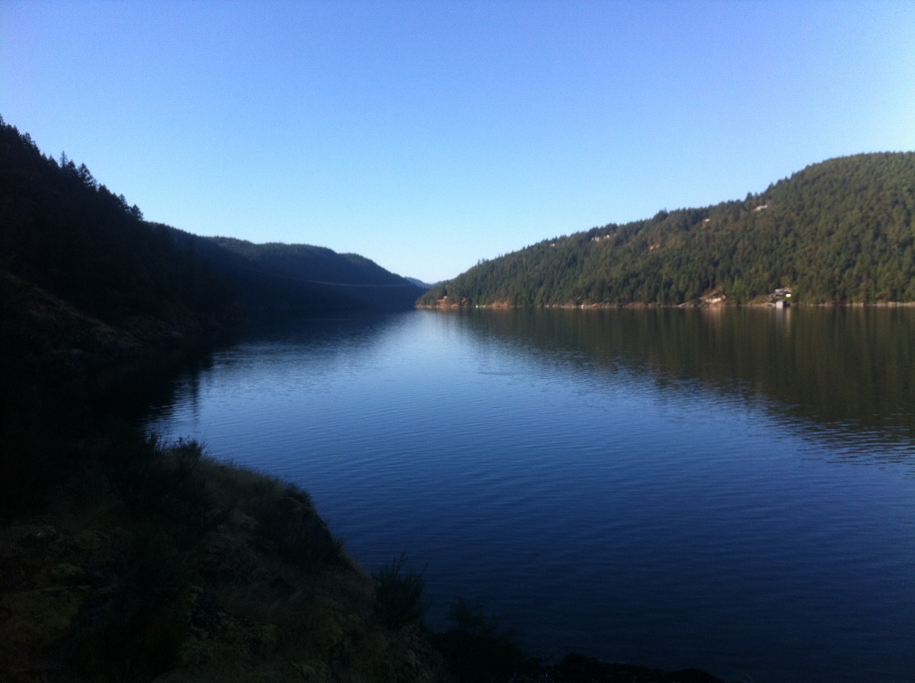
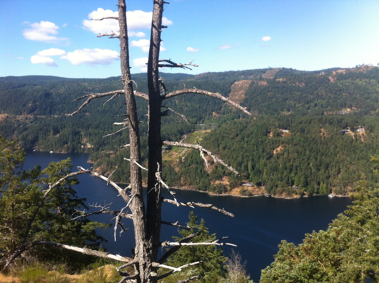
09. Looking south down Finlayson Arm. The power line in the distance drooping over the Arm is roughly the destination.
A little before the power line, the Bluff Top Connector branches off Rabbity Trail, to take one up to the main Ridge Trail, intersecting it by the bluffs a little north of Holmes Peak.
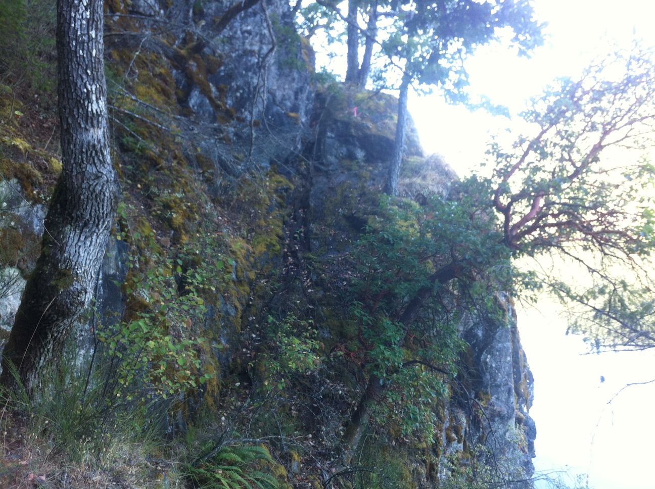
10. Along the way a sign presents an option of a "rock climb" or an alternative around it.
This is the "rock climb", which really isn't very difficult.
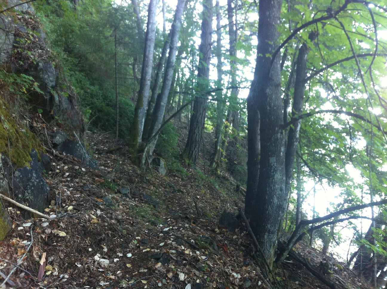
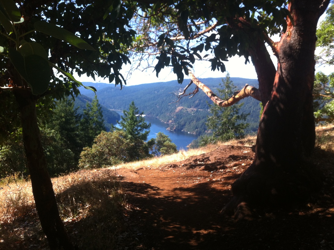
11. The trail continuing south.
12. Getting closer to the power line, so the connector up to the ridge trail should be not too far.
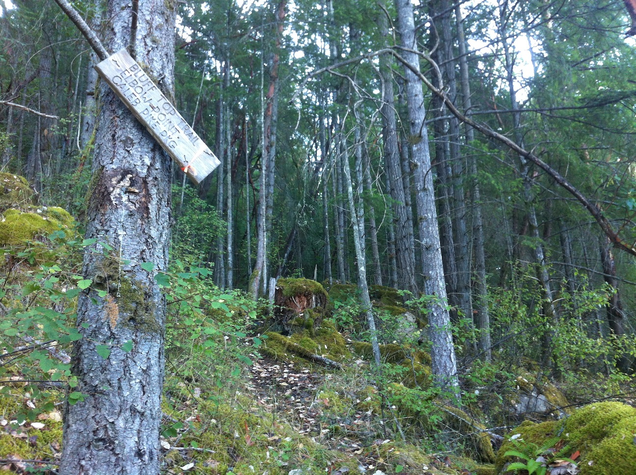
13. The start of the Bluff Top Connector.
14. Turning around from the previous picture, the trail back to Elbow Point.
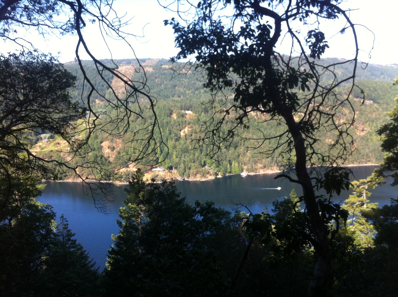
15. Gaining elevation on the Bluff Top Connector, a view across the Arm to the Malahat.
16. At the top of the Bluff Top Connector, SW view across to the Malahat.
17. And looking NNW over Finlayson Arm to the Malahat.
18. Onto the main Ridge Trail, heading north.
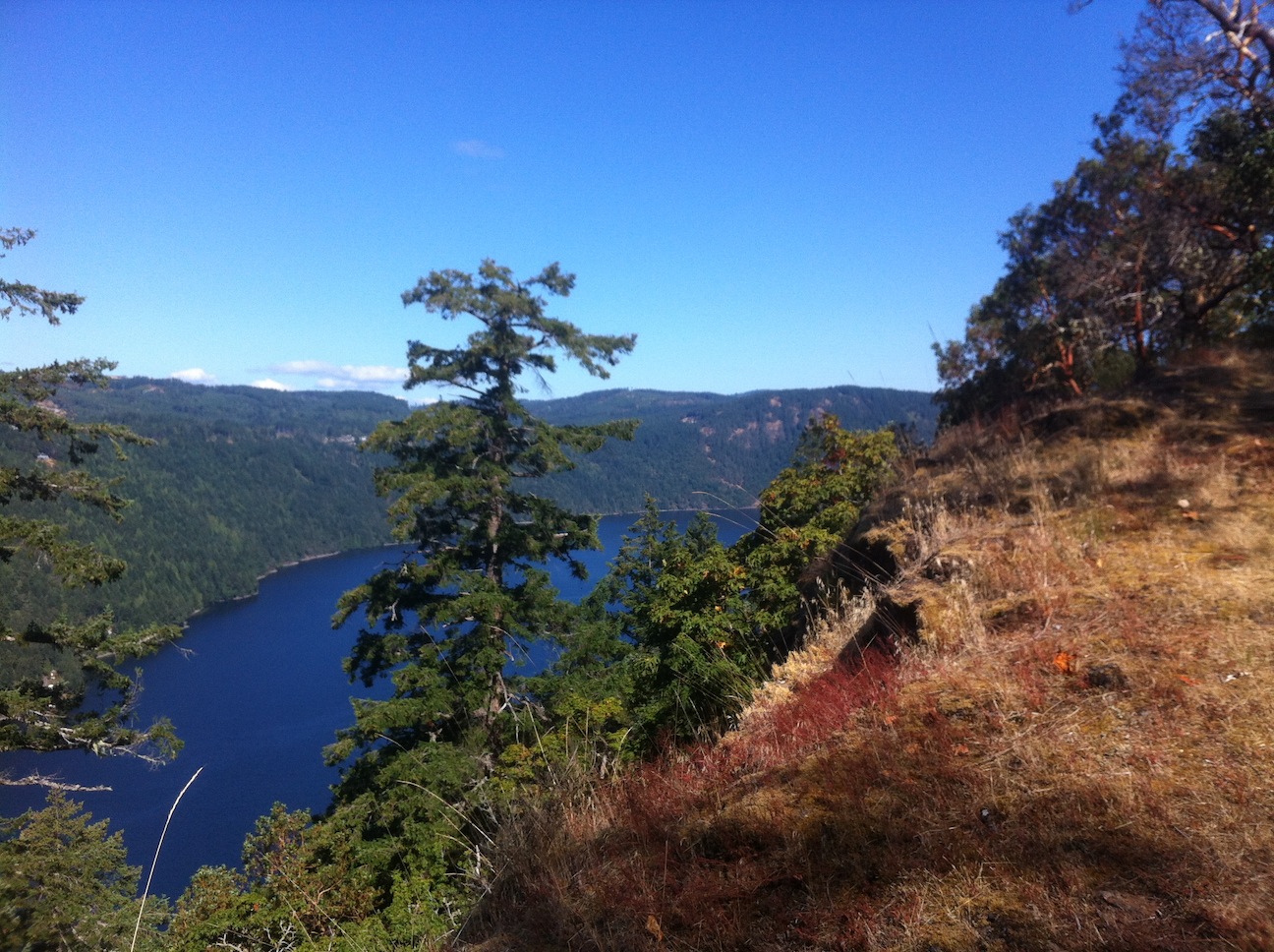
19. Further north along the ridge trail, but looking back south down Finlayson Arm.
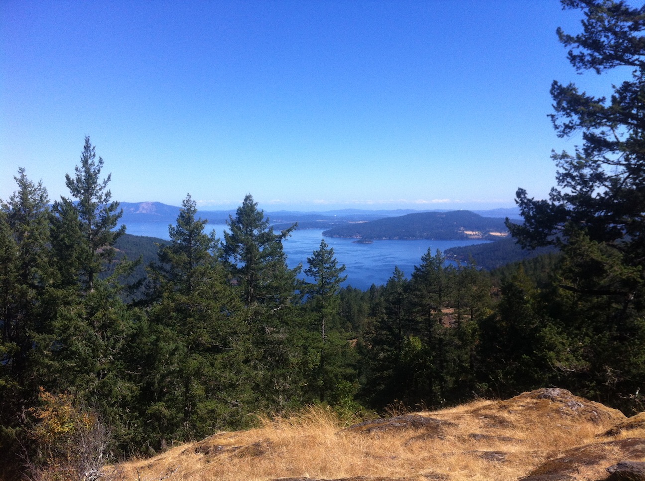
20. The high point on the route is Jocelyn Hill, this is looking north up the west coastline of the Saanich Peninsula,
The southern slope of Mt Tuam on Saltspring Island is seen in the distance on the left.
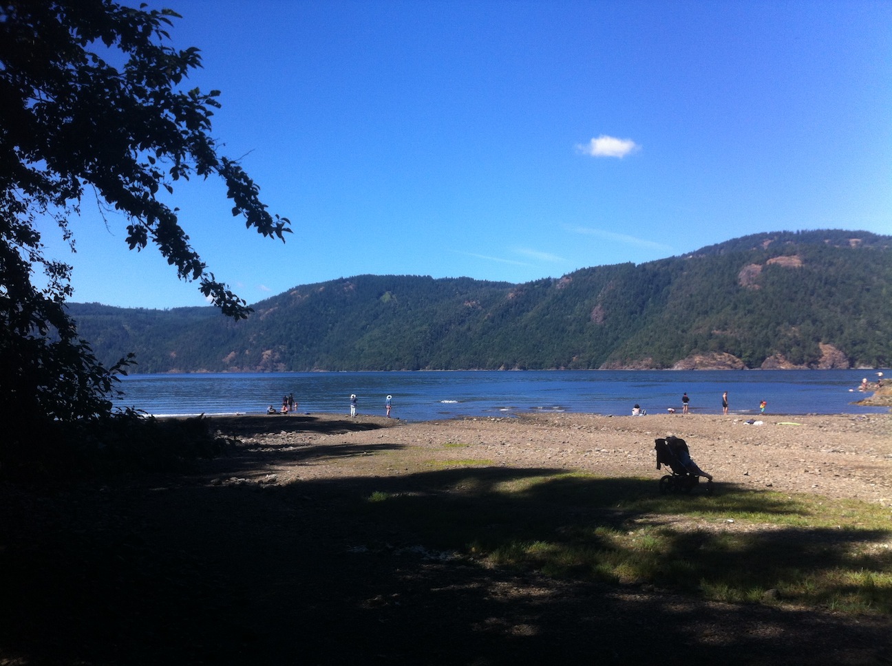
21. Back at McKenzie Bight where Rabbity Trail started, around noon.
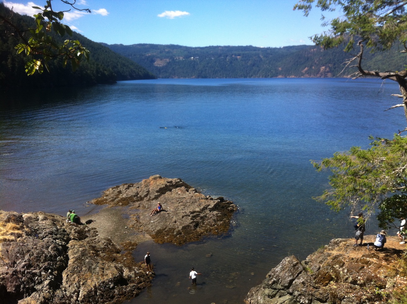
22. Looking WSW from McKenzie Bight down Finlayson Arm.
The point in the distance where the land slopes into the water from the left is Elbow Point.